Leica Geosystems Inc.
Norcross, GA 30092COMPANY OVERVIEW
COMPANY OVERVIEW
About Leica Geosystems Inc.
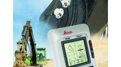
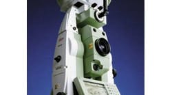
Leica Geosystems provides solutions for positioning and data capture for surveying, civil engineering, construction and mining. With its leading edge technologies (including total stations, GPS, leveling and machine automation), Leica Geosystems is a leading solutions provider for spatial information.
With close to 200 years of pioneering solutions to measure the world, Leica Geosystems' products and services are trusted by professionals worldwide to help them capture, analyze, and present spatial information.
Contact
5051 Peachtree Corners Circle
Suite 250
Norcross, GA 30092
USA
http://www.leica-geosystems.comSuite 250
Norcross, GA 30092
USA
770-326-9500
770-447-0710
More Info on Leica Geosystems Inc.
More Info on Leica Geosystems Inc.
Leica Geosystems provides solutions for positioning and data capture for surveying, civil engineering, construction and mining. With its leading edge technologies (including total stations, GPS, leveling and machine automation), Leica Geosystems is a leading solutions provider for spatial information.
With close to 200 years of pioneering solutions to measure the world, Leica Geosystems' products and services are trusted by professionals worldwide to help them capture, analyze, and present spatial information. Leica Geosystems is best known for its broad array of products that capture accurately, model quickly, analyze easily, and visualize and present spatial information in 3D.
Products
Products
July 24, 2009
April 3, 2009
May 25, 2005
March 18, 2005
Case Studies
Case Studies
July 21, 2014


